

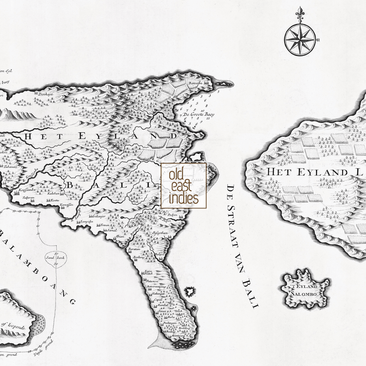


Map of Bali Island ~ Year 1724
SGD 48.80
Map of Bali Island, Nusa Penida and a part of Java and Lombok. Originally published in Amsterdam in the year 1724 by Francois Valentijn, a minister, naturalist and writer. Valentijn was born in 1666 in Holland, but spent 16 years in the East Indies notably in Ambon, in the Maluku Archipelago.
Size 37 by 28 cm.
Quality Recycled Art Paper
Mounted with Thick Art Cardboard
Description on the Back
Transparent Protection Wrapper
Ready for Framing
Our mounted art prints are printed on recycled uncoated speckled art paper.
Quantity: