


Map of Bali Island ~ Circa 1600 ~ Greeting Card
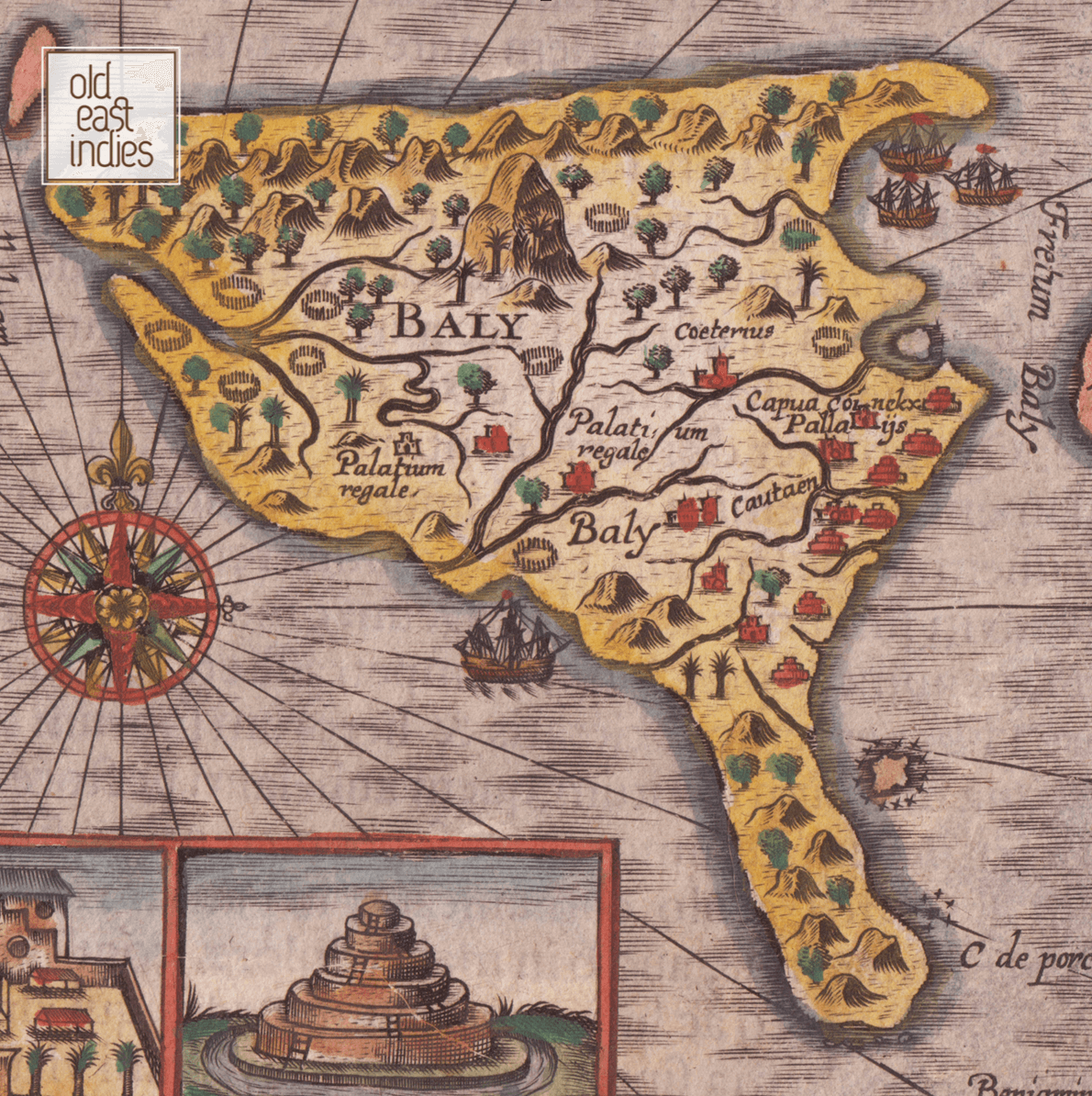
Miniature map greeting card of Bali Island by the English map engraver Benjamin Wright and published in Amsterdam by Jodocus Hondius around the year 1600. The map, like the majority of the 16th and 17th century maps of Bali is based on Lodewijcksz’s map of the island published by Cornelis Claesz in 1598.
Bali and European Exploration,
Cornelis de Houtman, the first Dutch explorer to set foot on Bali, arrived in 1597. Five years later, in 1602, the Dutch East India Company was established. Although a Dutch presence was felt in the region as early as the late 16th century, Bali remained independent of Dutch control until the 1840s and the island would not be fully under Dutch hegemony until the early 20th century.
- Size 15 by 10.5 cm.
- Quality recycled art paper
- The description on the back
- Includes an envelope
- Wrapped in a transparent protection